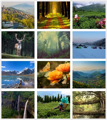
About Dooars ... Welcome To Jungle
The Dooars or Duars are the alluvial floodplains in northeastern India that lie south of the outer foothills of the Himalayas and north of the Brahmaputra River basin. This region is about 30 km wide and stretches over about 350 km from the Teesta River in West Bengal to the Dhanshiri River in Assam.
A journey through the rolling hill slopes, widespread lush green tea gardens separated by meandering silvery mountain streams, high Sal forests, small quiet ethnic villages, vast meadows with a blue outline of the great Himalayan ranges in the horizon, endless sky..... you are in Dooars!
Places to Visit
in Dooars
- Welcome To Dooars
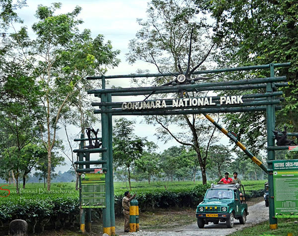
Gorumara National Park
Gorumara National Park is a National Park in northern West Bengal, India. Located in the Dooars region of the Himalayan foothills.
- Welcome To Dooars
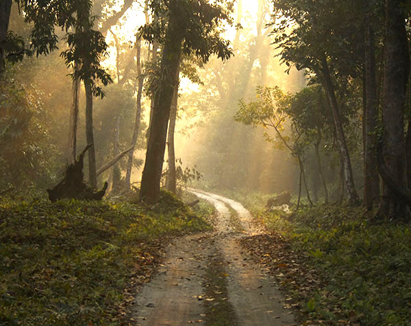
Lataguri
Lataguri is a small town located in the Jalpaiguri district of Indian state of West Bengal.
.jpg)
- Welcome To Dooars
Chalsa
Chalsa is a small town situated just on the foot of the Himalayas in the Duars in Jalpaiguri district in West Bengal.
.jpg)
- Welcome To Dooars
Chapramari
Chapramari Wildlife Sanctuary is close to the Gorumara National Park.Chapramari is about 30 kilometres from Chalsa and Lataguri.
- Welcome To Dooars
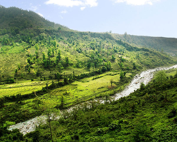
Samsing
Samsing is a small hill village and tourist spot in the Matiali Malbazar subdivision of Jalpaiguri district of West Bengal situated at an elevation of 3000 ft in the foothills in between Jalpaiguri.
- Welcome To Dooars
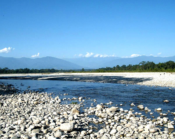
Murti
Murti is a small town in the Jalpaiguri district of West Bengal and is situated on the banks of river Murti. This place is about 8 kilometres away from Chalsa.
- Welcome To Dooars
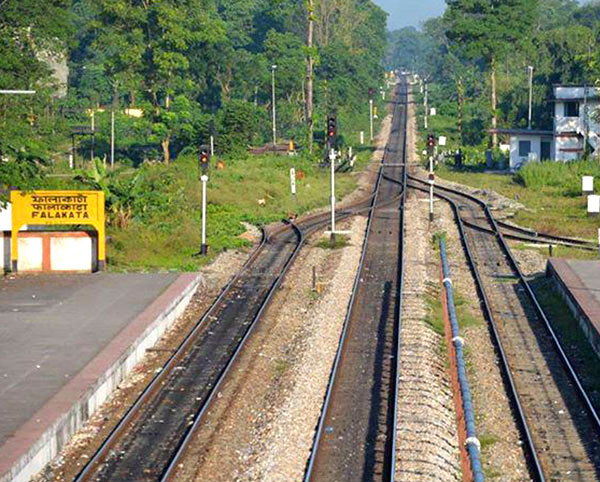
Falakata
The Dooars or Duars are the alluvial floodplains in northeastern India that lie south of the outer .... some important railway stations in the area such as New Jalpaiguri, New Cooch Behar, Alipurduar, New Bongaigaon, hasimara, Falakata etc.
- Welcome To Dooars
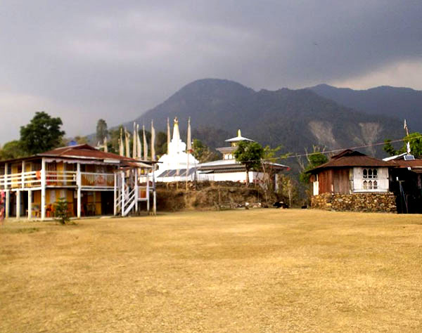
Lepchakha Village
The Dooars or Duars are the alluvial floodplains in northeastern India that lie south of the outer ... Before the settlement of other communities, these people converted the forests into villages


